Thank you for your patience while we retrieve your images.
Calvin Damen
Home
»
Rockies 2014
»
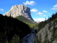
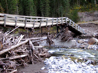
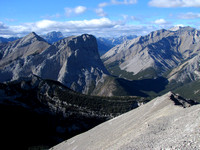
Shunga-la-she, October 12, 2014
Visitors
80
Modified
27-Feb-25
Created
13-Oct-14
14
photos
© Calvin Damen